Our visit to the Italian island of Elba, or Napoleon was ‘ere part II. We were pleasantly surprised by Elba and spent more time than expected there. There was plenty to see and do on land with beautiful scenery, well marked walking trails, history, musical entertainment and an interesting cable car ride. A choice of anchorages was available to choose from depending upon the wind directions and whether we wanted a town nearby or nature. An unexpected bonus was that despite us being there during the high season of July into August it never really got overly busy, apart from the two days strong southerlies chased everyone from the southern anchorages into the north side.
The only down side is that the price of a beer continues to rise the further north we go!
Overnight Crossing to Elba
Our crossing from Corsica to Elba was a game of two halves. We left late afternoon from Pinarello for an overnight crossing, giving us plenty of daylight hours the next day and the option of bimbling along slowly if that’s all the wind allowed for. Which is what happened; a few hours after leaving we had just enough wind to be able to sail slowly along. However, by midnight the wind had dropped off and I’d had to wake Colin from his off watch to help stow the sails when they began to slat about.
We motor sailed on through the hours of darkness, a half moon providing a surprising amount of light. A few ships crossed our path but well in front of us. By daybreak the wind had been building and we were sailing again. I went off watch and 3 hours later when I woke we were off the south east corner of Elba. I wondered if we’d teleported to the north of the UK whist I slept – brooding, grey skies greeted me when I stuck my head out with low clouds snatching on Elba’s hill tops. The southerly wind was a F5 with a sea building with it and as Emerald surged on, thunder rumbled close by. What a welcome!
Our original arrival point of Porto Azzurro looked uncomfortable if not untenable in the 1m swell, so we took the wind and continued up Elba’s east coast, Emerald romping along in the now F7 gusts. Around Capo Vita, the seas went completely flat as the wind died completely. It didn’t last for long as we rounded the finger of land – the sea was still flat, but lusty gusts of wind were now meeting us head on.
Ferries buzzed close by either side of us to add to the perils that our sleep deprived brains had to cope with but before long we were into the shelter of Portoferraio bay, the anchor was down and it was holding well. The thunder rumbled off elsewhere and we were able to relax and catch up on sleep.
Portoferraio
Portoferraio is the main town on the island, a hub for all the ferry traffic and for local transport around the island. The number and frequency of large ferries that serve the island seems over the top for it’s size with seven different ferries in and out many times a day split across four different companies. It made crossing by dinghy over to the town’s harbour into a game of ferry chicken. We would watch for a gap in traffic, closely monitoring whether cars were still being loaded or if one was heading into the bay. If we saw a puff of nasty black smoke being ejected or spotted an orange clad ormeggio scootering along a quay to drop a ferry’s mooring lines we would allow discretion to rule and bob about or even turn back the way we had come to keep out of their way. Coming back from the town to Emerald was slightly more dicey as we couldn’t see if any were coming in until we’d rounded the fort. The ferries took no prisoners; their loud horns telling boats in no uncertain terms to get out of the way, regularly disturbing the peace as they left and arrived at high speed. Their wakes caused an annoying roll too; all would be calm, then roll, roll, roll; then calm for maybe twenty minutes before the next one arrived.
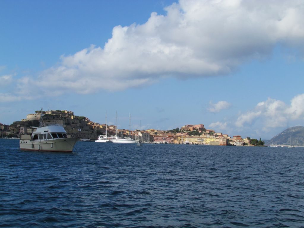
Annoying ferries aside, the town is a pleasant place to visit, the pastel painted houses hugging a curve in the land and marching up the hill to where imposing walls and forts protected it from invaders. The island has been much fought over by the British, French, Austria and various Italian republics until in 1860 it became part of the unified Kingdom of Italy.
Portoferraio (Iron Port) gets it’s name from the iron that was shipped from the the island in the 19th century. The quarries and abandoned machinery still scar the landscape, particularly along the eastern coast.
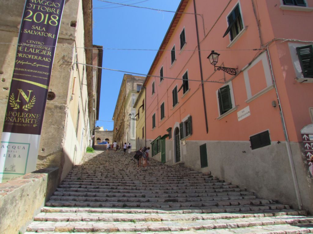
And of course, I can’t mention Elba’s history without mentioning it’s most famous resident, albeit for less than ten months, Napoleon Bonaparte. Given he was supposed to be in exile, it looked like he had a pretty cushy life, given sovereignty of the island and with two large properties to live in. A legacy of his stay is the flag of Elba, a red diagonal slash across a white background, with three golden bees. This was to be our second encounter of the summer with Napoleon’s footsteps.
The strong southern winds of our arrival meant that the many of the island’s anchorages were unusable, leading to more boats than usual wanting to anchor in Portoferraio bay. We had to deal with a couple of close encounters and on our second day a thunderstorm rolled in during the evening. Two boats who had failed to take heed of our advising them how much chain we had out were now swinging close off our stern as Emerald stretched out in the gusts of wind. This time they took the advice and let out more chain themselves. Welcome to summer sailing!
The storm passed close by but not overhead and we headed off to bed, only to be woken a few hours later as another storm arrived and this one was longer, closer and louder. I was just coming up the companionway when I heard an awful crackling sound. Colin had seen a boat take a hit direct to the top of the mast, sparks crackling. I quickly gathered up items for a grab bag, just in case. It was an uncomfortable half hour before it had fully passed, although the fire hose strength rain that followed gave Emerald a welcome wash down.
The next day was as if nothing had happened, winds now light from the south; blue, cloudless sky overhead. The anchorage thinned out and we could relax and go explore ashore.
Island Exploring
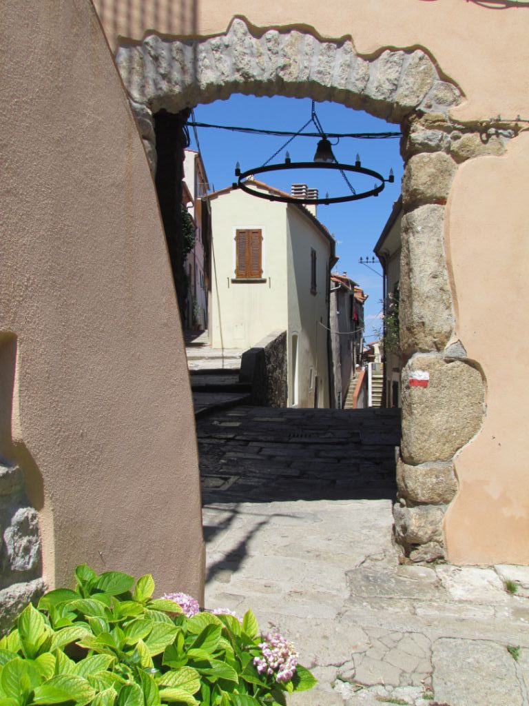
We took the bus to visit different corners of the island, leaving Emerald safe in the anchorage at Portoferraio. The bus service is pretty good around the island, as is the walking, with many well marked trails that can be reached using the bus. The bus station is on Viale Elba where tickets and timetables are available. The tourist info office has a walking booklet, although we found most of our walks from wikiloc.com and plotaroute.com.
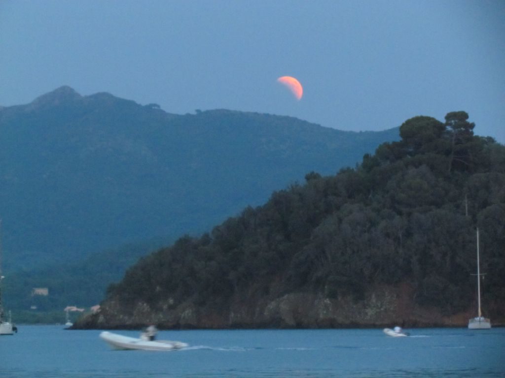
It was a close thing as to whether the clouds would clear in time, but we did get to watch the lunar eclipse which was pretty awesome.
The Cabinovia and Monte Capanne
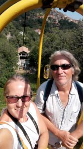
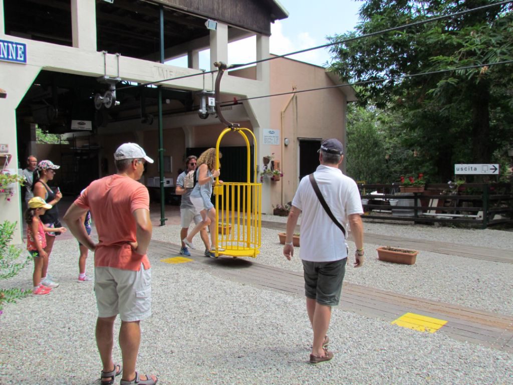
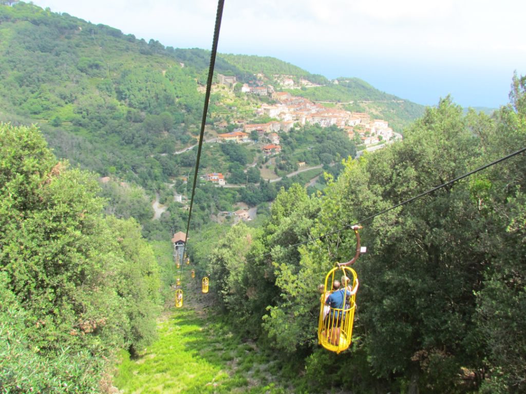
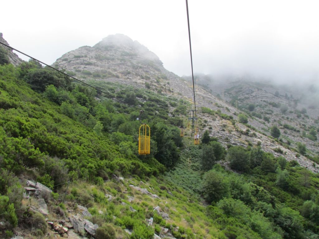
The highest point of the island lies to the west, Monte Capanne at 1,019m. A cable car, or Cabinovia runs from the mountain village of Marciana to almost the top. The bus dropped us at the ticket office and after a short queue, it was our turn to hop on. The cars take two people and look like hanging baskets, painted bright yellow. You have to make quite a fast step up into the basket, although there was an attendant slowing the baskets down for anyone who needed it. He must have thought we looked capable, but then he didn’t know of my history with ski lifts! However, we made it on ok and were off up between the trees, some chilled Jack Jones playing from loudspeakers, perhaps to help calm any frazzled nerves.
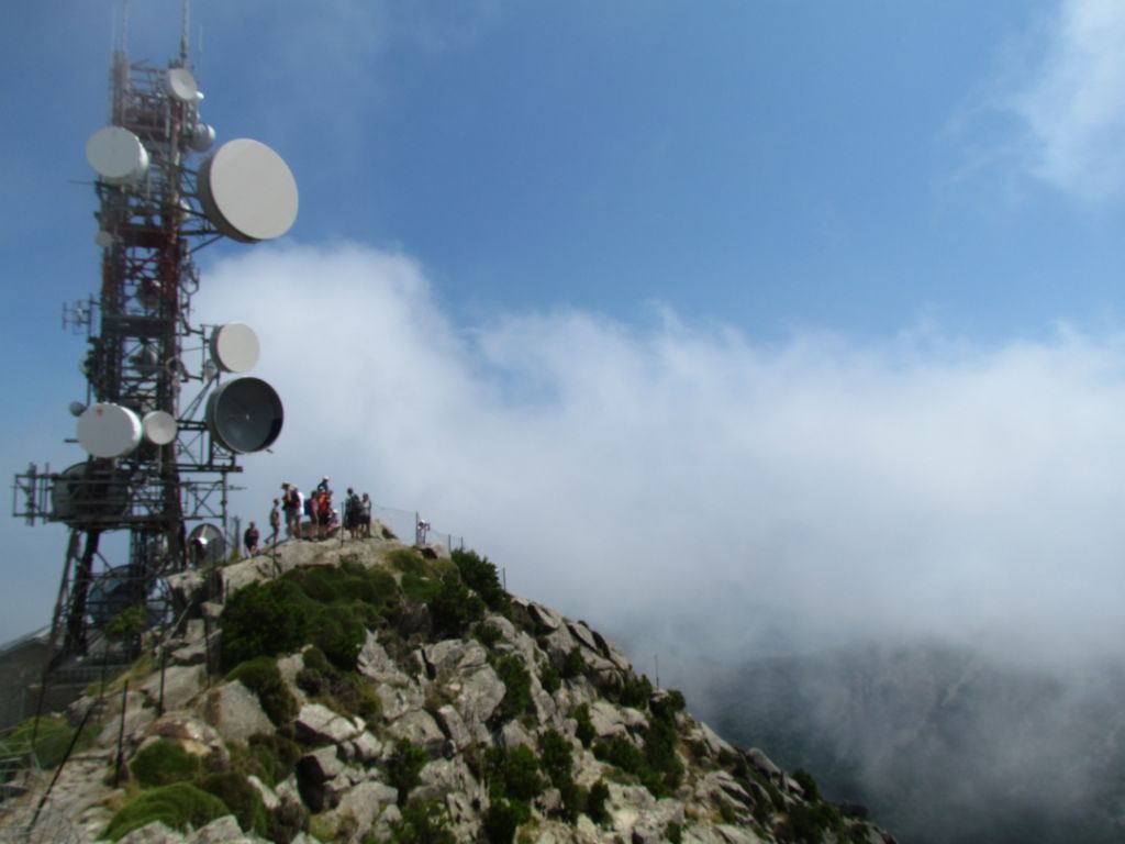
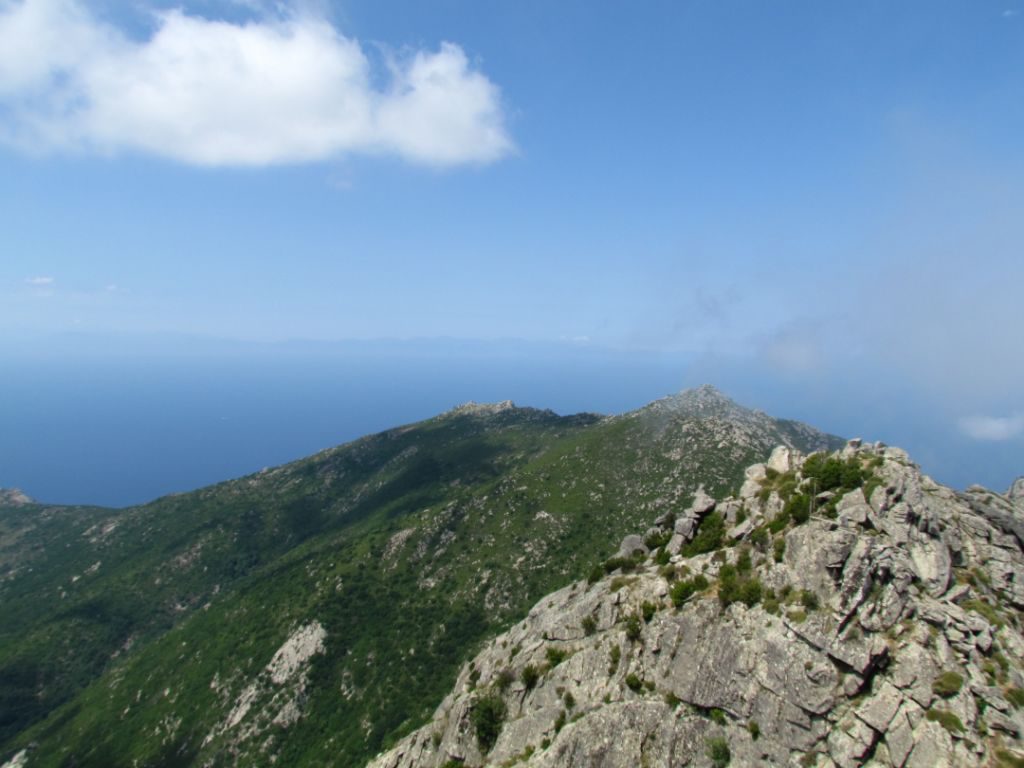
Wispy cloud kept catching on the peak above us, which concerned me for it’s impact on the views. Still, it kept the temperature down and we could still see well from the basket as we rose higher. We managed to get out at the top with no problems and it was a few more meters climb up rocky steps to the peak itself. The wisps of cloud obligingly melted away and the views opened up. Emerald was a tiny dot to the east and to the south I could spot some of the anchorages we might visit.
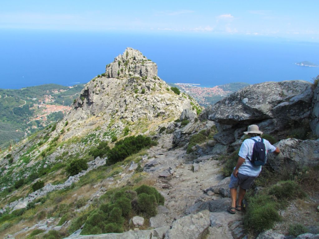
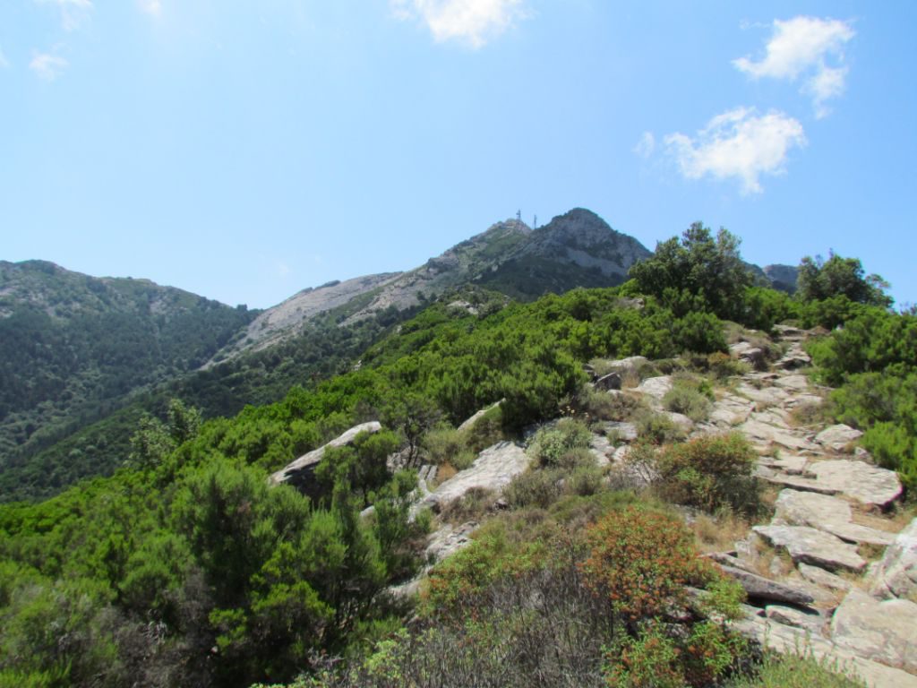
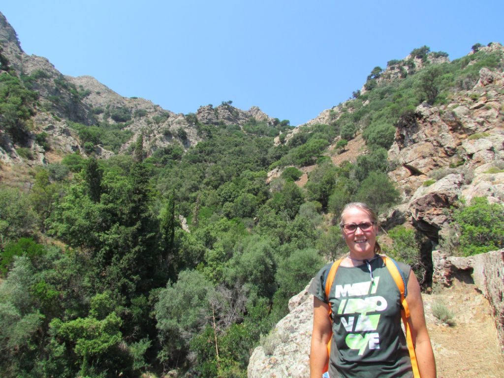
Rather than take a round trip, we decided to walk down. The distance wasn’t too far, but due to the steepness and rockiness of the upper sections, it took us nearly two hours to walk 2.5 miles. The lower sections were more wooded and had welcome shade. And over the whole route, so many different coloured butterflies buzzed about.
Porto Azzurro
We made it to Porto Azzurro on our second attempt, snugging ourselves into the bottom corner of Cala di Mola. A touristy town with lots of mineral shops selling pretty coloured stones, reflected the mining history of Elba.
The old fort that stands next to the town is now a prison – it makes for a good reuse of an old building that’s built to withstand people getting in. We took a coastal path that passed in front of the fort’s high walls, now topped with barbed wire and with modern look out posts, to the town’s nearest beaches, one named after the pirate Barbarossa, where the sand was grey and sparkly from the remains of the mining activity.
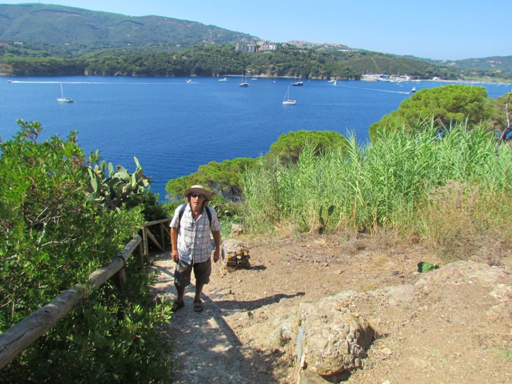
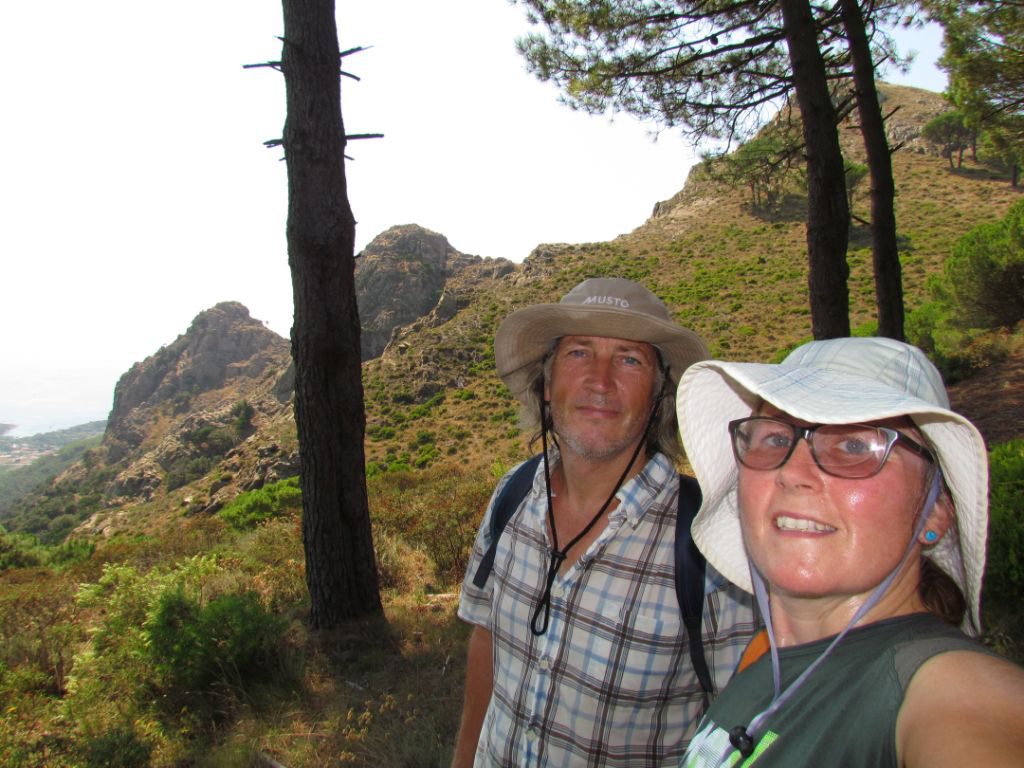
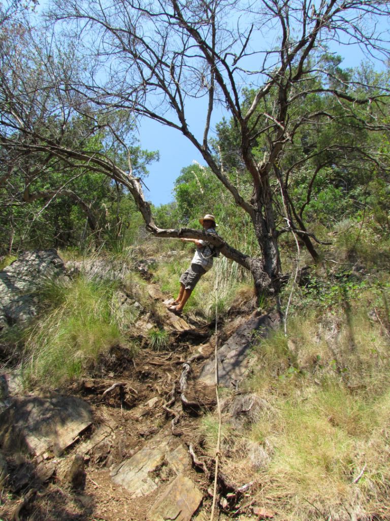
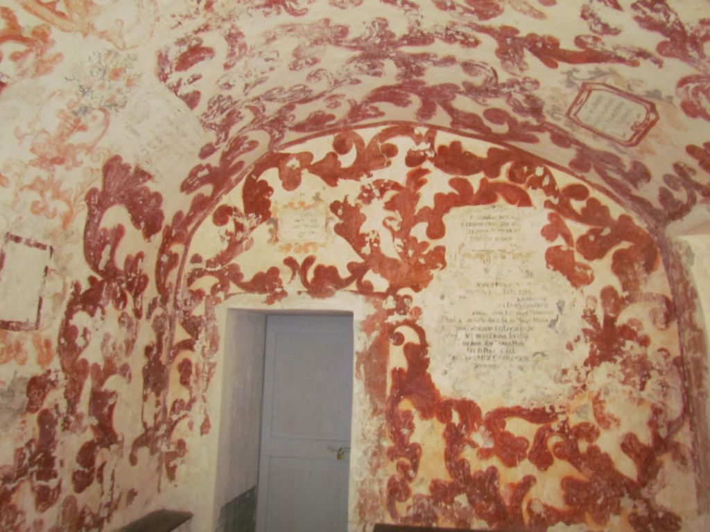
Behind the town are some craggy outcrops around which there is a walk with a tough section, made even harder by the temperature being over 30c. Oops we did it again, mad dog and English woman go out in the midday sun. The up towards Monserrato was stretched out over a couple of miles, but the down was short and steep through a narrow valley, the dirt path winding between trees with the added jeopardy from pine cones waiting to roll under a misplaced foot. At the bottom was the sanctuary of Madonna di Monserrato, built in 1606 by the then Spanish governor and with some old paintings on the walls of a back room.
Margidore Beach, Golfo Stella
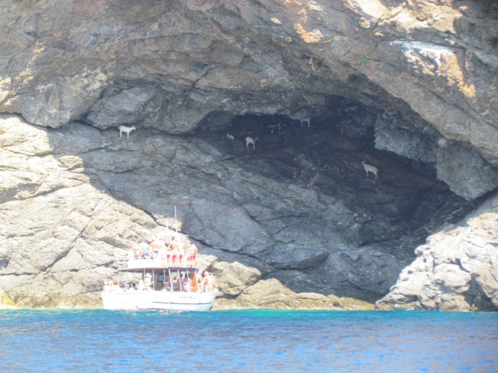
From Porto Azzurro we continued around to the south side of the island. Along the way we passed the remains of old mine works and plenty of caves in the cliffs.
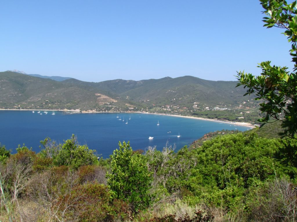
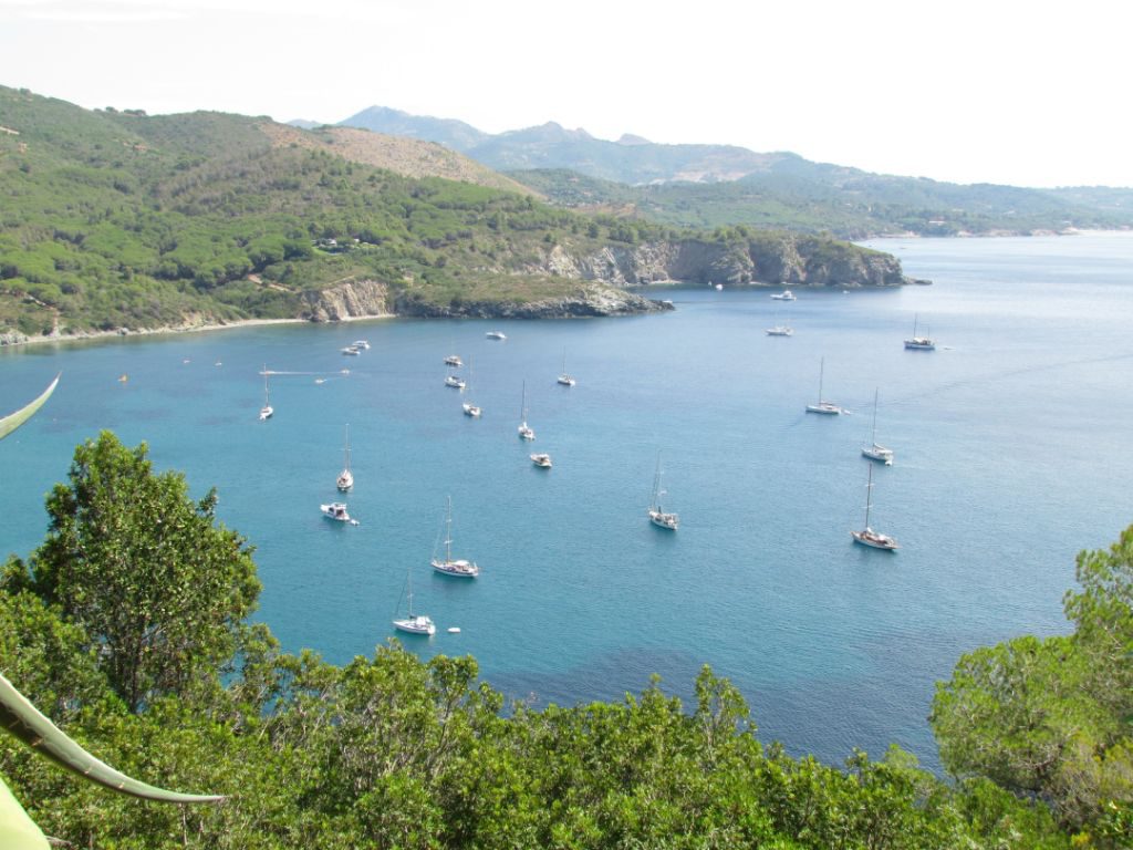
We dropped anchor off of Margidore beach. The east side of the bay is covered in posidonia, but the west is flat sand where we found good holding. We could get ashore to walk out to the Lacona peninsula. The anchorage was perfect for easy days of snorkelling and kayaking along the cliffs. Whilst swimming around Emerald, I twice saw two rays wafting along under the boat. Of course on the third day when I went in with my camera, they were nowhere to be seen.

Legacy of the former mining industry. Perhaps they could make it into a theme park with a long slide into the sea?
From Elba we headed north to do some touristing in Tuscany.
Sailing Info
Portoferraio
20th July – Pinarello, Corsica to Portoferraio, Elba: 96nm (46nm sailed)
Anchored in 5m in position 42 48.355’N 10 19.389’E
In the north west part of the bay, there is a Coop supermarket sign visible from the anchorage with an old quay and boat shed in front of it. One of the gates to the quay has a gap that can be squeezed through. It’s not the nicest place to leave the dinghy, but convenient for carrying bags of shopping.
We preferred leaving the dinghy on the end of the fishermans’ pontoon in the main harbour in front of the town. There are rings to lock to and it was safe and sheltered.
The water in the bay was not very clear, and often there would be oil residue floating on the surface, particularly nearer the ferry berths. Rather than swim in it, we took a walk to the beaches on the north side of the town.
Ashore there is a large Coop, a little further out of town is an Eurospin and a Conad. All the usual amenities of a small town are available. A self service laundry is behind the front walls of the town, behind the fishing harbour.
Along the harbour side are small rubbish bins but none for recycling.
Porto Azzurro
30th July – Portoferraio to Porto Azzurro; 16nm (7nm sailed)
Anchored in 5.5m in position 42 45.588’N 10 23.452’E
We had good holding down in Cala di Mola but there were several boats that dragged during our few days there. Usually their anchor would come up with lots of weed dangling from it; when we lifted ours it came up clean so we’d got lucky with a non weedy patch. The water wasn’t clear enough to see the bottom.
There is a Coop in the centre of town which seemed to be open all day, and a Conad further back. We left the dinghy on the pontoon in the harbour. There are large bins for recycling waste and general waste dotted along the shore.
Margidore Beach, Golfo Stella
2nd August – Porto Azzurro to Margidore; 11nm
Anchored in 7.5m in position 42 45.494’N 10 19.333’E
Best anchoring is to be found on the western side where there is flat sand. It is very weedy over on the east side with large divits in the weed. In the small harbour there is a dock for landing but dinghies must not be left there if you go ashore, instead they can be pulled up onto the beach. Bins are at the back of the beach.
Ashore there are walks, campsites and a few restaurants.


