

After the watermaker repairs it was time to head further afield so we headed down to Port Leone on the southern end of Kalamos Island as we both wanted to see the abandoned village there. The village (also known as Kefali) was abandoned after the large earthquake in 1953 which destroyed the water supply.
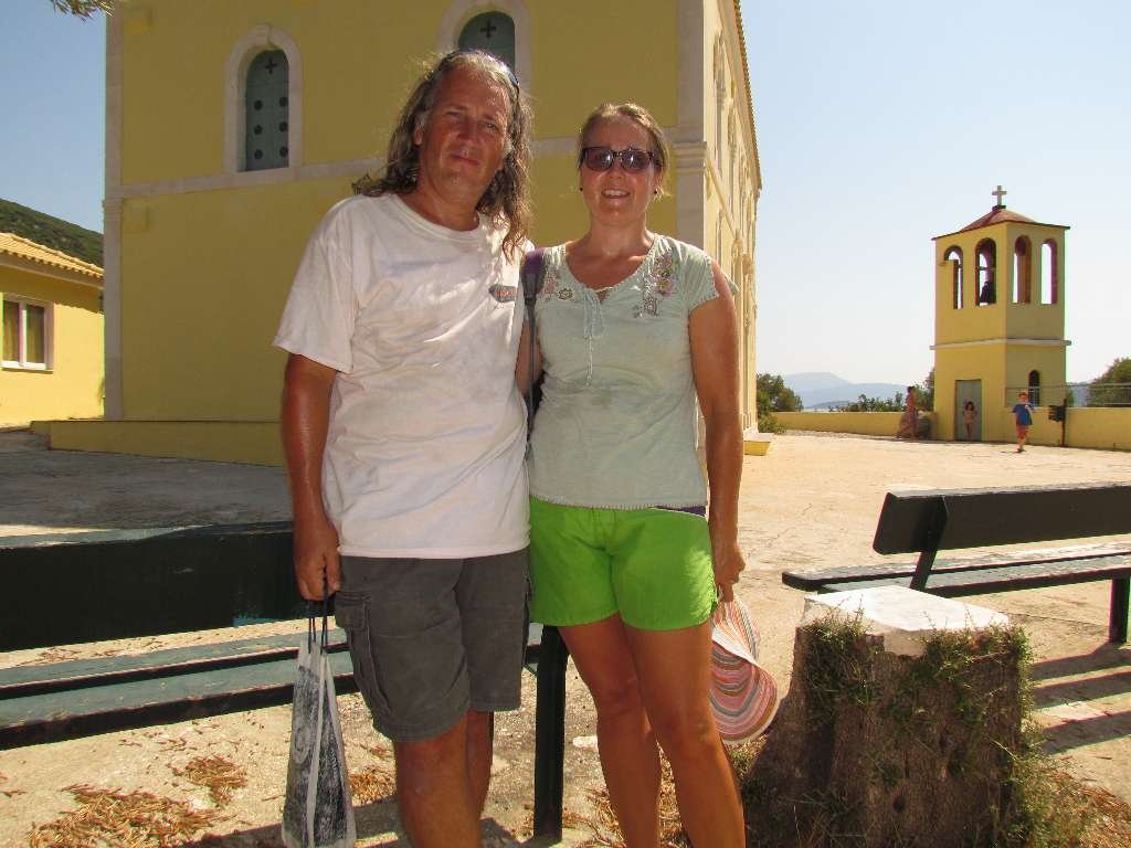
Exploring the ruined village of Port Leone
Leaving Nidri we had a F5 on the nose which we expected to be able to use to sail once we’d passed Scorpios Island. But as we turned onto a course to pass east of Meganisi and raised the sails, the wind shifted forward and a short time later died away. Sails away and motoring again. The wind picked up from the east as we got further south so we sailed again, this time on a beam reach F3 which we were making 4kts with, then with no warning it did a 180 degree course change but couldn’t quite make up its mind and fluctuated from east to west and back again. Very annoying and back to motoring again.
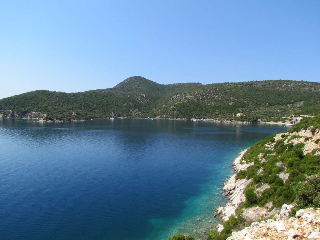
Port Leone bay
Rounding the south west end of Kalamos we passed a cave collapse that had left a secret beach underneath. Might make an expedition destination in the dinghy.
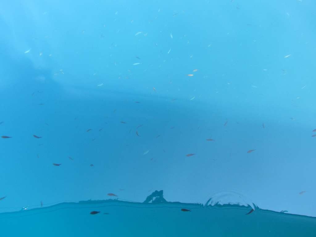
Look at all the fishies
Port Leone is a large bay with steeply shelving sides. Our preference was to swing at anchor but as we motored between the already anchored boats it became clear there wasn’t enough room for us without having to anchor out in the deeper water. The already anchored boats were blocking access to one side of the bay for tying ashore so we chose the wall to the left of the village. We hadn’t prepared for tieing to shore but there was no wind so we had plenty of time to just bob about.
Tied up we jumped in for a cooling swim to find shoals and shoals of different sized and coloured fish darting about on the underwater rocks. Amongst the shoals I saw a pipefish, some pretty gold-pink fish and stuck to the rocks were plenty of black, spiky urchins.
That evening a goat herder rode down to the village, tied up his horse and walked along the rocks to chase the goats away from the water’s edge. When he’d gone they came back again. As darkness fell, with no light pollution other than a few dots of brightness from anchor lights we could see so many stars; the Milky Way was visible and we spent a while playing guess the constellation.
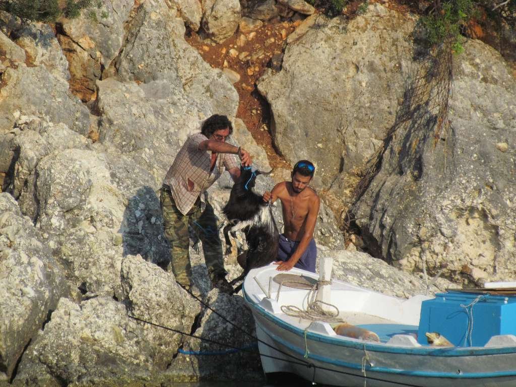
The goat doesn’t look too keen on its boat ride
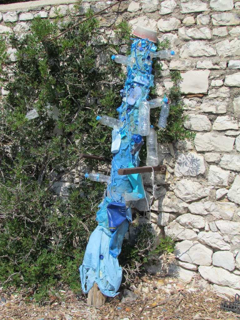
A sculpture made from some of the rubbish strewn around the anchorage. This is one made from the blue themed rubbish
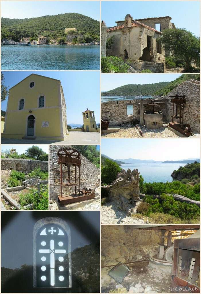
Port Leone – scenes of the ruined village
The next day we explored the ruined village. The houses are still reasonably intact although many were missing roofs and windows and some are locked up. In the building next to the landing quay is an old olive press and in another what looked like a mill. Sadly we also saw lots of bags of rubbish that previous visitors had left behind. Should have been a warning for what was to come later…. Up the hill we found empty little houses and onto the church which has been maintained and stands out amongst the ruins like a giant yellow beacon. The church was locked so we could only peer through the windows to see that it was well looked after inside and set up for use. We wandered along the rocky track that wound along the coast for a while until it got too hot.
We avoided the days the charter boat flotillas visit and it never got that busy, everyone that turned up found a space either at anchor in one of the two bays or tied to the trees and rocks. We liked it in Port Leone, but unfortunately we had an unwelcome visitor….. more on that in the next blog.
Sailing Stuff
19th July – Vlicho to Port Leone, Kalamos: 17nm travelled (3nm sailed)
Weather: dry, hot, wind F5 from north east, then F3 from east, then F3 from west, then all over the place
Position: 38 35.86’N 20 53.1’E
[osm_map_v3 map_center=”38.679,20.801″ zoom=”10″ width=”100%” height=”450″ file_list=”../../../../wp-content/uploads/2015/07/Vlicho2Leone.gpx” type=”OpenSeaMap” file_color_list=”green”]